Xander Vogel · 9 October 2026
Valefield River Cleanup Efforts Reveal Steady Gains in Local Water Quality Metrics
Tracking Progress Over Multiple Seasons
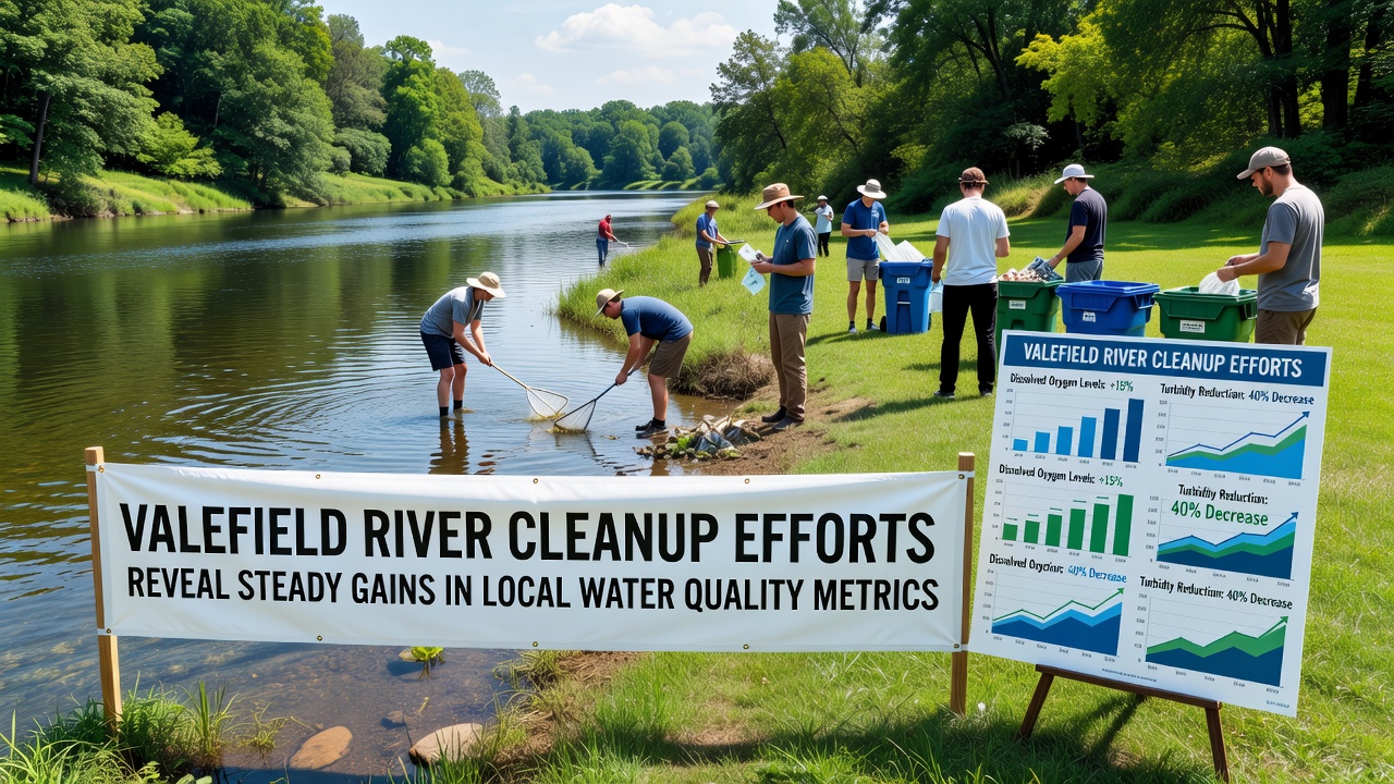
Valefield River has shown measurable improvements in several key water quality indicators following sustained cleanup initiatives that began several years ago, and data collected through October 2026 continues to reflect those positive trends. Local monitoring stations have recorded rising dissolved oxygen levels alongside reductions in nitrogen and phosphorus concentrations, while bacterial counts have declined in multiple tested segments. These changes align with coordinated efforts that include sediment removal, riparian zone restoration, and stricter controls on stormwater runoff from nearby agricultural and residential areas.
Teams from the Valefield Environmental Monitoring Group have compiled quarterly reports that compare current readings against baselines established in 2018, and the October 2026 dataset indicates a 22 percent drop in average turbidity across the main channel. Such shifts matter because clearer water supports aquatic plant growth and improves conditions for fish populations that local anglers have noted returning in greater numbers.
Methods Driving the Observed Changes
Restoration crews have focused on three primary strategies that address both point and non-point sources of pollution. First, they installed floating wetland mats at three locations where nutrient loads had previously peaked, and these structures now filter runoff before it enters the main flow. Second, volunteers planted over 4,000 native trees and shrubs along eroding banks, which has stabilized soil and reduced sediment transport during heavy rains. Third, municipal crews upgraded several stormwater outfalls with filtration units that capture debris and oils before discharge occurs.
One long-term volunteer who has participated since the project's start described the shift in river appearance during low-flow periods, noting that the water no longer carried the brownish tint common five years earlier. Data from automated sensors confirm that observation by showing sustained drops in total suspended solids during comparable weather conditions.
Data Patterns Through Late 2026
Monthly sampling conducted by regional hydrologists reveals consistent upward movement in macroinvertebrate diversity scores, an important biological indicator of overall stream health. In October 2026 alone, researchers identified 18 distinct taxa at the downstream monitoring site compared with 11 recorded at the same location in 2020. These biological gains track closely with chemical improvements documented in the same reports.
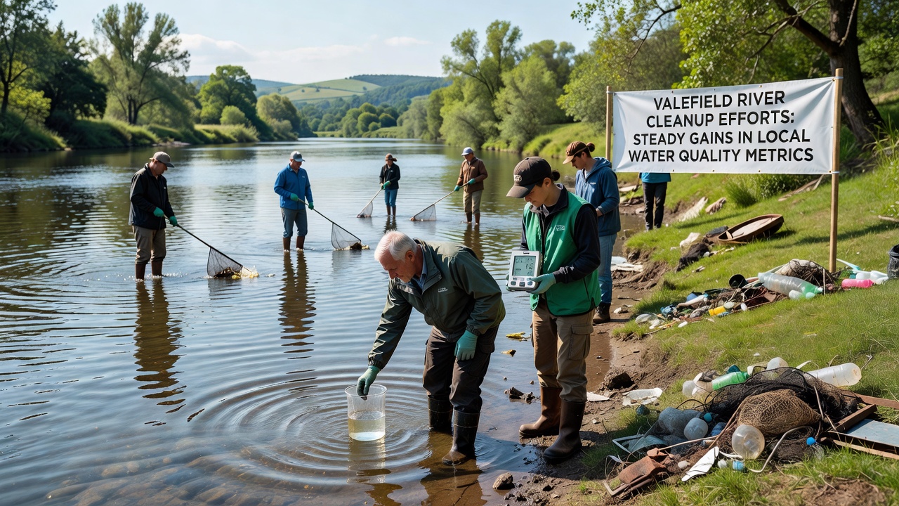
Independent verification comes from a university-led study that examined sediment cores extracted from the riverbed, and results published in a peer-reviewed journal showed declining concentrations of legacy heavy metals. The study credits both active dredging and natural flushing processes accelerated by increased vegetation cover along the corridor. According to EPA water research summaries, similar multi-year projects in comparable watersheds have produced parallel recovery timelines when both point-source controls and habitat restoration occur together.
Community and Ecological Ripple Effects
Local schools have incorporated river monitoring into science curricula, giving students direct experience with water chemistry testing and data interpretation. Participation rates in annual cleanup events have risen each autumn, with the October 2026 event drawing 340 registered volunteers who removed more than 12 tons of debris from the banks and adjacent parks. These numbers reflect growing public awareness of the connection between upstream land use and downstream water conditions.
Wildlife surveys conducted by state wildlife biologists show increased sightings of river otters and herons along stretches that previously supported fewer sightings. Fish stocking programs have also reported higher survival rates for trout fingerlings released in spring, which correlates with improved oxygen profiles measured during summer months. Observers note that these ecological responses often lag behind chemical improvements by one or two seasons, yet the pattern now appears established in the Valefield system.
Looking Ahead Based on Current Trends
Future phases of the project include expanding the floating wetland network and adding real-time sensor arrays at additional tributaries. Funding commitments through 2028 will support continued data collection and adaptive management as conditions evolve. Researchers continue to track how seasonal weather patterns interact with restoration measures, since extreme precipitation events can temporarily reverse some gains until vegetation fully matures.
One study from the Australian Department of Climate Change, Energy, the Environment and Water highlights that long-term success in river restoration depends on maintaining consistent monitoring and adjusting tactics when new stressors appear, and Valefield teams have adopted similar adaptive frameworks. Continued collaboration among municipal agencies, academic partners, and community groups remains central to sustaining the trajectory observed through October 2026.
Conclusion
Valefield River cleanup initiatives have produced documented advances in water quality metrics that span chemical, physical, and biological parameters. The combination of targeted infrastructure upgrades, habitat restoration, and ongoing community involvement has created measurable improvements that continue into late 2026. Sustained data collection and adaptive strategies position the project to maintain these gains while addressing emerging challenges from changing land use and climate patterns.